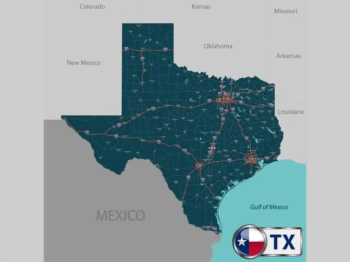
Texas has seven regions, making the Lone Star a vast state. It’s 268,597 square miles, which means it’s 1.65 times larger than California. As a result, the regions of Texas aren’t entirely similar.
In today’s article, we’ll tell you all about Texas’s regions and unique facts about each region. Let’s dive into the details.
How Many Regions Are There in Texas?
Generally, there are seven main natural regions in Texas:
- Hill Country
- Gulf Coast
- Panhandle
- Big Bend Country
- Piney Woods
- South Texas Plains
- Prairies and Lakes
Other Classifications for the Regions
Some people prefer a different geographical division for the state. Here’s the second most accepted regions division:
- North Texas
- West Texas
- South Texas
- East Texas
- Central Texas
- Panhandle
- Upper Gulf Coast
The Regions of Texas
Since Texas is a big state, the regions are diverse and have different characteristics. So, let’s talk about each state in detail.
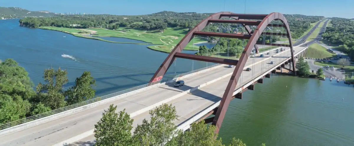
1. Hill Country
Located in Central Texas, Hill Country is the fourth-largest region in Texas at around 31,000 square miles. It sits upon the eastern portion of the breathtaking Edwards Plateau.
An ocean covered this area almost 100 million years ago during the Cretaceous Period. The marine deposits of limestone, sandstone, and dolomite formed the Edward Plateau. As a result, it created gorgeous rolling hills and grasslands.
In this area, you can come across many natural springs, steep canyons, and some underground lakes. Most lakes and springs flow from the Edwards Aquifer, a subterranean layer of rocks that stores water.
Around two hundred springs come together to create it, as it’s one of the world’s largest aquifer-driven spring systems. The water then runs into the San Marcos River, which flows into Guadalupe.
That makes this area and the Enchanted Rock area perfect for hiking. The Enchanted Rock is a historic landmark and the largest pink granite monadnock in the United States.
Counties in Hill Country Region
Hill Country contains many counties. Here’s a list of some of these counties:
- Bell
- Bandera
- Comal
- Crockett
- Edwards
- Hays
2. Gulf Coast
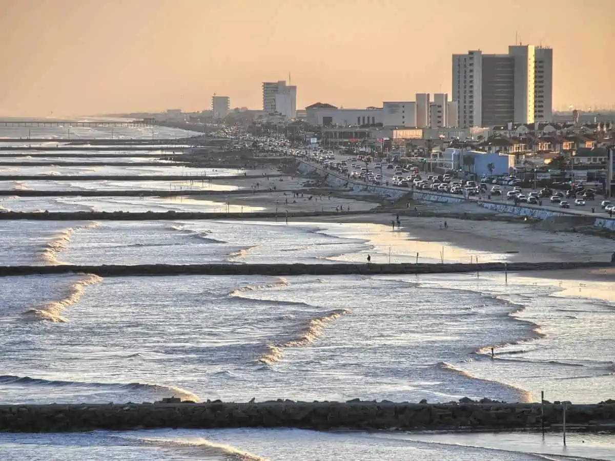
The Gulf Coast, as the name suggests, is home to some of the most beautiful beaches in the United States. The Gulf Coast has 624 miles of shoreline, which runs from Sabine Pass in the north to the Rio Grande in the South. You can also spot various barrier islands protecting the shoreline.
Generally, the region is long and narrow. It stretches along the Gulf of Mexico for miles. The Gulf Coast region is renowned for its wildlife and exotic plants.
This region contains some large and popular cities, like Houston, South Padre Island, and Galveston. As of 2019, the Gulf Coast housed more than 25% of the state’s total population, even though it’s not among the biggest regions.
Counties in Gulf Coast Region
The Gulf Coast region covers 13 counties. Here are some of them:
- Austin
- Chambers
- Colorado
- Fort Bend
- Galveston
- Harris
3. Panhandle Plains
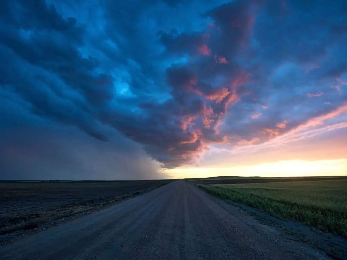
The Texas Panhandle region, as the name suggests, looks like a handle to a giant pan. It’s a square-shaped region, which Oklahoma borders to the north and east. The north end begins at the border of Oklahoma and goes south to San Angelo.
The western part ends at the New Mexico Border, and the eastern part ends at Wichita Falls and Brownwood. It’s right next to the Oklahoma Panhandle. With almost 26,000 sq mi, it makes up around 10% of Texas.
The Panhandle is primarily flat, with grasslands and plains. Some call it the “Llano Estacado”, which means the staked plains.
Amarillo is one of the biggest, most famous cities in the Panhandle region. Right to the south of Amarillo, you’ll find Palo Duro Canyon, the second-largest canyon in the United States. Other regions’ big cities include Wichita Falls, San Angelo, and Lubbock.
Counties in Panhandle Region
There are 26 counties within the Panhandle Plains region. Let’s check out some of them:
- Dallam
- Sherman
- Lipscomb
- Moore
- Roberts
- Potter
- Armstrong
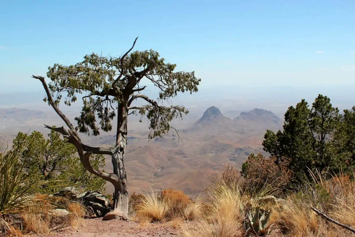
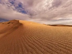
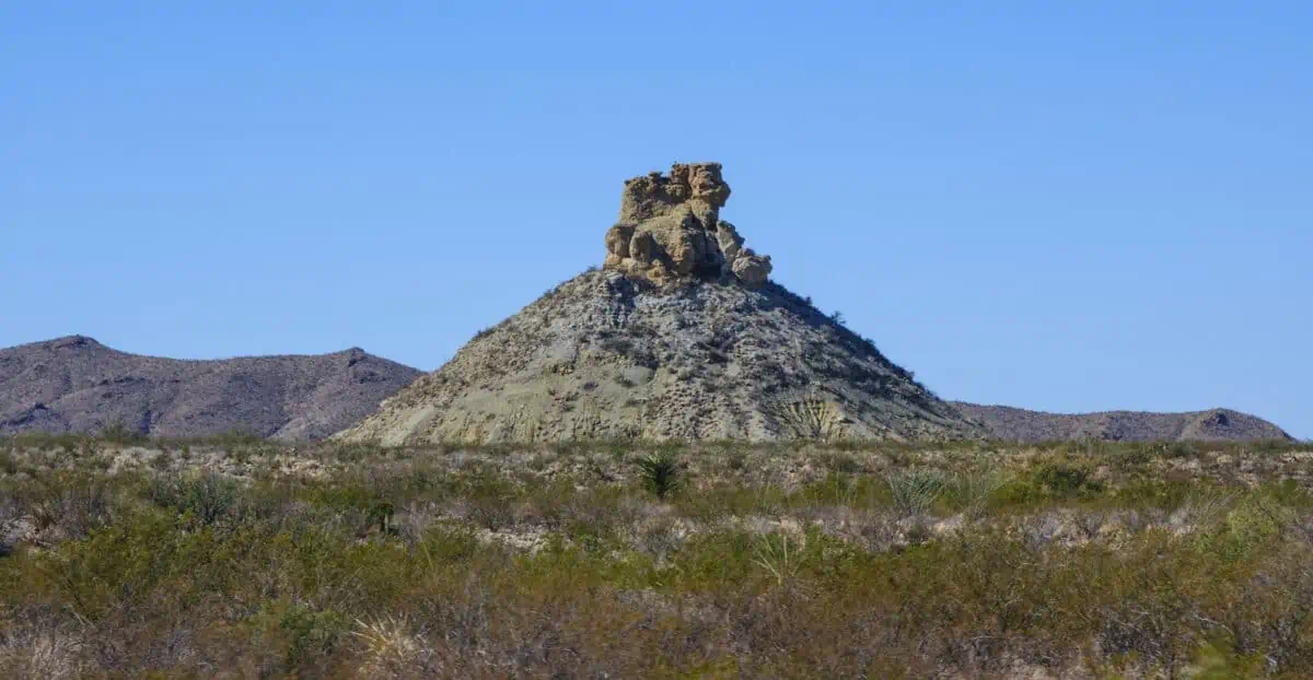
4. Big Bend Country
Some people refer to the Big Bend as “West Texas”. It’s also part of the Trans-Pecos region in the southwest. The Big Bend region is known for the Rio Grande River, the Guadalupe National Park, and the Davis Mountains.
Some believe the region was named after the Big Bend National Park, while others believe the name comes from the big bend that the Rio Grande takes in that region.
The Rio Grande passes between Chisos Mountain, Texas, and Sierra Madre Oriental, Mexico. It’s one of the largest rivers in North America.
The Big Bend has well over one million acres of public land. The region is known for its mountains, desert, and dry weather. It’s the most remote part of the entire state, but arguably, the most beautiful part too.
Counties in Big Bend Region
There are three counties within the Big Bend region:
- Presidio County to the west
- Brewster County to the east
- Jeff Davis County to the north
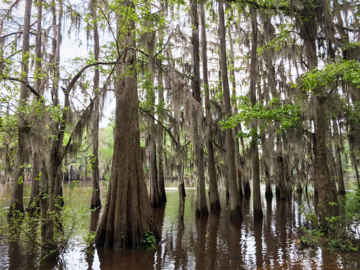
5. Piney Woods
The Piney Woods region stands out among the other regions of the Lone Star. Some refer to it as “East Texas” or “Deep East Texas”. The “Piney Woods” comes from the tall pine tree forests across the region.
The woodland is also a part of a large forest that extends into Oklahoma, Arkansas, and Louisiana. The Piney Woods covers around 54,400 sq mi. As a result, the Piney Woods region is home to an extensive variety of plants and animals.
The Big Thicket area is slightly different from the rest of the Piney region. It mostly has low-lying wetlands.
Nacogdoches, the oldest town in Texas, is part of the Piney Woods region. Other cities in the region include Huntsville, Kilgore, Gladewater, and Tyler.
Counties in Piney Woods Region
Here’s a list of some counties within the Piney Woods region:
- Bowie
- Marion
- Panola
- Titus
- Gregg
- Rusk
6. South Texas Plains
From the edges of the Hill Country to the subtropical regions of the Rio Grande Valley, the South Texas plains have a bit of everything.
The region has the feel of Old Mexico since it borders Mexico. Mexican heritage made an impact on this region of Texas. The South Texas Plains lies roughly south of San Antonio and covers the Gulf of Mexico to the east.
As you can tell by its name, the region is known for the plains of thorny shrubs and trees. Additionally, you can find many scattered patches of palms in the Rio Grande valley.
The region is home to many exotic birds, and many birdwatchers from across the world come to observe them along the border and coastal areas. The World Birding Center is located in the South Texas Plains region.
Counties in South Texas Plains
Here are some of the counties within the South Plains region:
- Bailey
- Castro
- Borden
- Crosby
- Floyd
- Hale
7. Prairies and Lakes
The Prairies and Lakes region are located in Central and North Central Texas. It’s a transition between the Piney Woods region in the east and the Panhandle region in the west.
The region is around 45,000 sq mi, which makes it the second-largest region in Texas. It has three subdivisions: Post Oak Savannah, Cross Timbers, and Blackland Prairie.
The Post Oak Savannah sub-region is between the Black Prairies and the Piney Woods. It’s home to many native grasses and post oaks, hence the name.
On the other hand, Cross Timbers starts at the Oklahoma border west of Lake Texoma. It stretches down to the southeastern part of Fort Worth.
Blackland Prairie subregion stretches from the border of Oklahoma east to the north of Austin. The Blackland Prairies name comes from the fertile, black soil across the land.
Counties in Prairies and Lakes Region
There are 50 counties within the large Prairies and Lakes region. Here are some of them:
- Austin
- Bosque
- Cooke
- Dallas
- Colorado
- Grimes
Regions in Texas FAQs
Which Region Is the King Ranch Part Of?
The ranch is part of the South Texas Plains region. King Ranch is the largest one in the country and one of the largest in the world. It’s 825,000 acres of land, which makes it larger than the state of Rhode Island.
How Do the Regions of Texas Differ?
There’s great diversity among the regions of Texas. That’s because Texas is large, and thus there can be different characteristics for the state’s regions. These big differences include altitude, terrain, and weather.
References
- There are seven main natural regions in Texas: tpwd.texas.gov
- Formed the Edward Plateau: earth.com
- Gulf Coast had more than 25% of the state’s total population: comptroller.texas.gov

Christian Linden is a seasoned writer and contributor at Texas View, specializing in topics that resonate with the Texan community. With over a decade of experience in journalism, Christian brings a wealth of knowledge in local politics, culture, and lifestyle. He holds a Bachelor's degree in Communications from the University of Texas. When he's not writing, Christian enjoys spending weekends traveling across Texas with his family, exploring everything from bustling cities to serene landscapes.