Texas has many hiking paths that reflect its geographical diversity. Every hiker’s preference and ability can be met in West Texas’ arid deserts or East Texas’ wet woodlands. Texas trails offer a distinct and satisfying outdoor experience, whether you’re searching for a leisurely stroll along a gorgeous river, a hard hike to a panoramic vista, or a multi-day backpacking expedition.
Texas trails include rocky gorges, broad plains, dense woodlands, and peaceful coasts. Each hike has a different mileage, elevation gain, and difficulty. The Santa Elena Canyon Trail in Big Bend National Park offers iconic views and a sample of the region’s dramatic landscapes, while the Lady Bird Lake Trail near Austin offers urban nature getaways. Before your next hike, examine the terrain, challenge, route distance, and elevation that suit your needs.
To hike successfully, you must prepare by learning the trail. You may choose the right trail with detailed descriptions, location, distance, elevation gain, and difficulty rating.
These hikes remind us of Texas’s natural beauty.

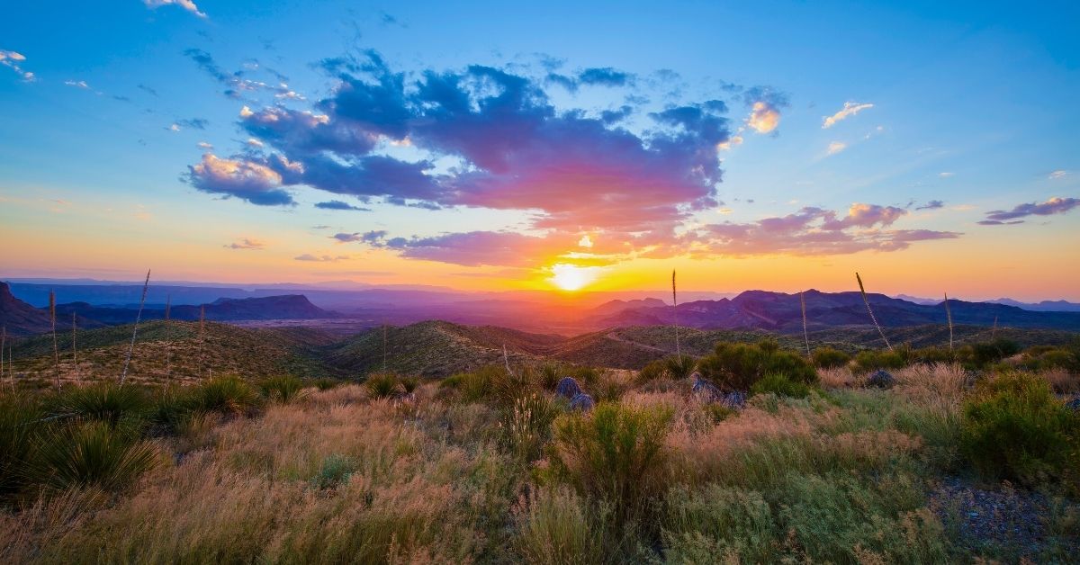
Big Bend National Park Trails
Big Bend National Park offers diverse and breathtaking landscapes for hiking. These trails vary in difficulty, ensuring options for both novice and experienced hikers.
South Rim Trail
Distance: Approximately 12 to 14.5 miles (round trip)
Elevation Gain: 2,000 feet
Difficulty: Strenuous
The South Rim Trail gifts you with some of the most panoramic views in Big Bend National Park. Prepare for a full day hike, as you traverse through forests and desert, culminating in a stunning overlook that peers out over the Chihuahuan Desert.
Lost Mine Trail
Distance: 4.8 miles (round trip)
Elevation Gain: 1,100 feet
Difficulty: Moderate
The Lost Mine Trail offers a harmony of accessibility and scenic vistas, perfect for a half-day excursion. As you climb to the trail’s peak, lookout points along the way provide remarkable views of the Casa Grande and Juniper Canyon.
Emory Peak Trail
Distance: 10.5 miles (round trip when starting at the Chisos Basin)
Elevation Gain: 2,500 feet
Difficulty: Challenging
To reach the highest peak in Big Bend, Emory Peak Trail is your path, branching off from the Pinnacles Trail. The summit rewards your efforts with a 360-degree view of the entire park. The final ascent is steep and may require some scrambling.
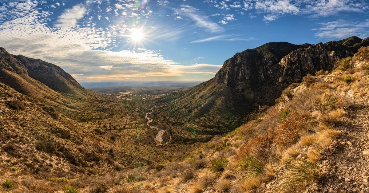
Guadalupe Mountains National Park Trails
In Guadalupe Mountains National Park, you’ll find trails that offer diverse landscapes and challenge levels. From the highest point in Texas to a picturesque canyon, these hikes provide a rewarding experience.
Guadalupe Peak Trail
- Description: Ascend to the “Top of Texas” and experience stunning views from the summit of Guadalupe Peak.
- Location: Guadalupe Mountains National Park
- Distance: 8.5 miles round trip
- Elevation Gain: 3,000 feet
- Difficulty: Strenuous
Devil’s Hall Trail
- Description: This trail guides you through a scenic hike featuring a natural rock staircase and the narrow, picturesque Devil’s Hall.
- Location: Guadalupe Mountains National Park
- Distance: 4.2 miles round trip
- Elevation Gain: Approximately 600 feet
- Difficulty: Moderate
McKittrick Canyon Trail
- Description: Hike into the beautiful McKittrick Canyon noted for its vivid fall colors and diverse ecosystems.
- Location: Guadalupe Mountains National Park
- Distance: Variable, up to 14.8 miles round trip to the Grotto and Pratt Cabin
- Elevation Gain: Minimal to McKittrick Canyon; more significant if continuing to the Grotto
- Difficulty: Easy to moderate, becoming more difficult if continuing beyond McKittrick Canyon
Hill Country State Natural Area Trails
Nestled in the rugged beauty of the Texas Hill Country, the trails at Hill Country State Natural Area offer a variety of hiking experiences. You’ll find options ranging from tranquil creek walks to challenging climbs with rewarding views.
West Peak Loop Trail
- Location: Hill Country State Natural Area near San Antonio
- Distance: 1.5 miles
- Elevation Gain: Approximately 1,151 feet
- Difficulty: Moderate
The West Peak Loop Trail is a perfect blend of challenge and scenery. Embarking on this trail, you prepare for a moderate hike that rewards you with panoramic views as you reach the peak. The trailhead starts near the Visitor’s Center, guiding you through diverse landscapes to the top of West Peak.
Bandera Creek Trail
- Location: Central area of Hill Country State Natural Area
- Distance: Variable
- Elevation Gain: Mild
- Difficulty: Easy to moderate
Wandering along the serene Bandera Creek, this trail is ideal for hikers who enjoy the soothing sounds of flowing water. With varying lengths depending on the chosen route, the trail offers a relatively easy hike with minimal elevation changes, making it accessible to most fitness levels.
Twin Peaks Trail
- Location: Hill Country State Natural Area
- Distance: 2.5 miles round trip
- Elevation Gain: Moderate
- Difficulty: Challenging
For a more strenuous adventure, the Twin Peaks Trail will test your endurance with its elevation shifts. As you traverse 2.5 miles, be prepared for steep sections that lead to not one, but two distinct peaks, each offering its own unique vantage point over the scenic terrain below.
Sam Houston National Forest Trails
Sam Houston National Forest offers some of the best hiking trails in Texas, displaying diverse landscapes from dense pine forests to scenic lake shores. Below, you’ll find details on three remarkable trails that cater to different levels of hikers and provide unique experiences.
Lone Star Hiking Trail
- Location: Starts near Richards, TX
- Distance: 96 miles (total length)
- Elevation Gain: Variable
- Difficulty: Moderate to Hard
The Lone Star Hiking Trail, known as Texas’ longest continuous hiking path, provides a range of terrains and difficulty levels due to its extensive length. This trail is ideal for multi-day backpacking trips or day hikes on one of its many sections.
Lake Conroe Shoreline Trail
- Location: Along Lake Conroe within the forest
- Distance: Varied options, up to 8 miles
- Elevation Gain: Minimal
- Difficulty: Easy to Moderate
This trail offers a peaceful experience along the shoreline of Lake Conroe. You’ll enjoy gentle terrain suitable for leisurely hikes or family outings, with picturesque lake views and opportunities for birdwatching.
Richards Loop Trail
- Location: Near Richards, TX
- Distance: Approximately 9 miles
- Elevation Gain: Moderate
- Difficulty: Moderate
Richards Loop Trail provides a scenic hike with moderate elevation, making it a satisfying choice for intermediate hikers. Experience the tranquility of mixed hardwoods and pine forests as you complete this loop through the natural settings of Sam Houston National Forest.

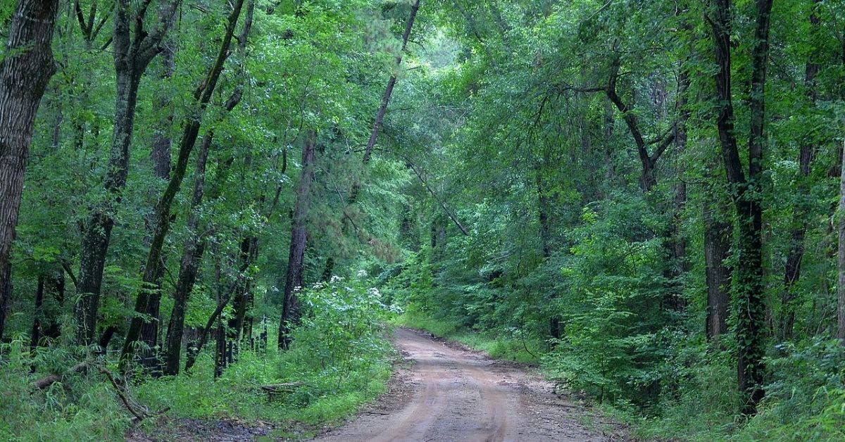
Davy Crockett National Forest Trails
Davy Crockett National Forest offers a variety of hiking experiences through its scenic and diverse landscapes. Here, you can explore the tall pine trees of East Texas and enjoy trails suitable for both casual walks and challenging hikes.
Four C Trail
- Location: Davy Crockett National Forest, Texas
- Distance: 20 miles
- Elevation Gain: Not specified
- Difficulty: Moderate to Strenuous
The Four C Trail takes you on a historic journey through dense pine forests and over creek crossings. Starting at Ratcliff Lake Recreation Area and ending at Neches Bluff Overlook, this lengthy trail rewards you with rich history and vibrant nature. It is advisable to check the US Forest Service for current trail status before planning your adventure.
Ratcliff Lake Recreation Trail
- Location: Near Kennard, Texas
- Distance: Various short trails
- Elevation Gain: Minimal
- Difficulty: Easy
At Ratcliff Lake Recreation Area, you can find a selection of shorter trails perfect for a relaxing day out in nature. You have the opportunity to walk around the lake, enjoy the local wildlife, and take in views over the water. This area is particularly well-suited for families or those looking for a gentle hike.
Trail Preparation Tips
When setting off on a Texas hiking adventure, a bit of planning ensures a memorable and safe experience. Here’s what you need to tackle the trails confidently:
- Gear Up: Find a comfortable pair of hiking boots and break them in before your hike. Dress in layers and opt for moisture-wicking fabrics to adapt to Texas’ varying climates.
- Stay Hydrated: Texas heat can be intense. Carry enough water—for hikes over an hour, consider a hydration pack. Avoid dehydration by also packing electrolyte-replenishing snacks.
- Map It Out: Grab a trail map or download a digital one. Even well-marked paths can lead to confusion, so stay prepared.
- Know the Weather: Texas weather varies. Check forecasts and be ready for sudden changes, especially if you’re in the hill country or desert regions.
- Leave No Trace: Respect the environment by packing out all trash.
- Wildlife Wisdom: You might encounter snakes or scorpions. Be watchful and give wildlife ample space.
- Time It Right: Start early to beat the heat and have plenty of daylight.
- Signal Savvy: Cellular service can be spotty. Have a backup plan for emergencies.
Here’s a quick checklist for your hike:
| Item | Why You Need It |
|---|---|
| Water | Dehydration prevention |
| Map | Navigation aid |
| Snacks | Energy boost |
| Sun Protection | Sunburn prevention |
| First Aid Kit | Injury response |
| Multi-Tool | Multipurpose use |
| Flashlight | Emergency lighting |
Be prepared, stay safe, and most importantly, enjoy the stunning beauty that Texas trails have to offer!
Best Times to Hike in Texas
In Texas, the diversity of landscapes beckons to outdoor enthusiasts all year round. However, certain seasons shine brighter for hitting the trails.
Spring (March to May) Spring is one of the most vibrant times to hike in Texas. Wildflowers, including the famous bluebonnets, are in full bloom, creating a spectacular display. The weather is comfortably warm, and the trails are generally less crowded.
- Optimal Conditions: Moderate temperatures and colorful scenery
- Key Events: Wildflower blossoms
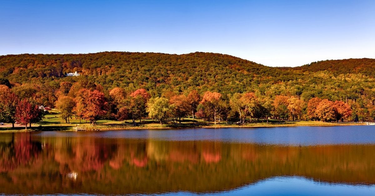
Fall (October to November) Fall ushers in a refreshing break from the heat. You’ll find the outdoors transformed with autumnal colors, and the cooler temperatures provide ideal hiking conditions.
- Temperature Benefit: Cool but not cold; perfect for a long hike
- Scenic Beauty: Leaves changing color in certain areas
Winter (December to February) If you’re looking to avoid the heat, winter offers a serene hiking experience. Sights like the Guadalupe Mountains may even sport a dusting of snow.
- Trail Advantage: Fewer hikers, more tranquility
Summer (June to September) Summer hikes are possible in Texas, especially in the early mornings or near water sources. Just be prepared for high temperatures and be sure to stay hydrated.
- Special Consideration: High heat levels, ensure you have ample water and sun protection
- Unique Experience: Desert hikes can be extra remarkable with early starts to beat the heat
Remember, each trail and region has its prime season, so always check local conditions before you go.

Christian Linden is a seasoned writer and contributor at Texas View, local Texas resident, travel enthusiast.and author of the Home Energy Playbook. He specializes in topics that resonate with the Texan community. With over a decade of experience in journalism, Christian brings a wealth of knowledge in local politics, culture, and lifestyle. When he's not writing, Christian enjoys spending weekends traveling across Texas with his family, exploring everything from bustling cities to serene landscapes.